

Razi Wani
Producer - News Desk
Razi Ud Din Ahmed Wani is a multimedia journalist and digital storyteller with a strong background in fact-checking, South Asian politics, documentary filmmaking, scriptwriting, and digital content production. With an MA in Mass Communication from the University of Karachi, he has experience directing and scripting web series and socio-political satires. And has worked across various media and digital platforms, focusing on emerging trends and storytelling formats.
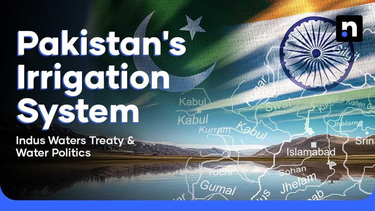
For decades, the Indus Waters Treaty quietly ensured peace flowed through South Asia’s rivers. But that silence was broken when India abruptly suspended the 1960 agreement, stirring a fresh crisis that threatens Pakistan’s access to its critical river systems -- and the very heart of one of the world’s largest irrigation networks.
The move, which comes after the Pahalgam attack, has rattled policymakers and farming communities alike, forcing the country to confront this pressing issue.
From space, Pakistan’s terrain appears veined with a vast latticework of canals fed by the Indus River. This system—one of the largest irrigation grids in the world—has transformed arid plains into fertile farmland. But behind this success lies a long, often fraught history of water management shaped by empires, partition, and climate change.
A legacy of water management
Long before the creation of Pakistan, water use in the region followed the rhythms of nature. During the Mughal and Kalhura periods, seasonal inundation canals, or Uthal, were constructed.
These canals flowed only when rivers swelled, creating a self-regulating, environmentally sustainable system.
“The British colonial regime disrupted that balance. To maximize cash crop production and export to Manchester, it built permanent barrages and canals, enabling year-round irrigation,” said Naseer Memon, a climate change and disaster management expert.
While crop yields increased, Memon noted the transformation came at significant environmental and public health costs. By the time Pakistan was founded in 1947, the irrigation system had expanded dramatically.
In just 50 years, irrigated land increased from 3 million acres to 15 million acres, while water consumption surged from 1,400 to 28,000 cubic meters, added Memon.
Origins of the treaty
Partition introduced new vulnerabilities. Most rivers that supplied Pakistan flowed from Indian territory. This became starkly evident in April 1948 when India cut off water from the Ferozepur headworks, triggering Pakistan’s first major water crisis.
In response, the Indus Waters Treaty was signed in 1960, brokered by the World Bank. It allocated the eastern rivers—Ravi, Beas, and Sutlej—to India, and the western rivers—Indus, Jhelum, and Chenab—to Pakistan.
India was permitted limited use of the western rivers for hydropower and irrigation, provided it did not alter their flow. A Permanent Indus Waters Commission was established to oversee compliance and resolve disputes.
“Pakistan responded by launching massive water infrastructure projects, including eight link canals and two major dams,” Memon said. However, much of this development was concentrated in Punjab, igniting longstanding concerns about interprovincial water inequity.
Sindh’s unequal share
“Sindh, being downstream, started receiving less water,” Memon said. “The inequity deepened with time.”
Although the Sukkur Barrage, built in 1932, remained a key irrigation hub, post-treaty infrastructure diverted more water northward.
A 1991 interprovincial water accord aimed to address the imbalance, but recurring shortages, India’s dam-building, and altered river flows have kept tensions simmering.
The Indus River System Authority (IRSA) now warns that Pakistan may reach absolute water scarcity by 2025. At the same time, climate change is amplifying both droughts and floods, compounding the crisis.
Melting glaciers
Pakistan's water system depends heavily on glaciers in the Karakoram, Himalayas, and Hindukush ranges.
These glaciers are melting 65% faster than a decade ago—among the highest rates globally—causing surging river flows and catastrophic floods, Memon noted.
Yet the country’s colonial-era canal system, designed to control water, is ill-equipped for this new reality. Natural drainage paths have been blocked, and floodwaters often stagnate for months, particularly in Sindh.
“Punjab continues to take more than its share, leaving Kotri downstream virtually dry most of the year,” Memon said. “The destruction of the Indus Delta is a stark example of the crisis.”
Collapse of the Indus Delta
A 2018 study by researchers at the U.S.-Pakistan Center for Advanced Studies in Water (USPCASW) at Mehran University found the Indus Delta had shrunk by 92% since 1833, down from 13,900 square kilometers to just 1,067 square kilometers.
The delta, once a thriving ecosystem, is now a saline wasteland. Coastal communities have been displaced, and towns like Keti Bandar have lost entire settlements to the encroaching sea. Many residents have abandoned agriculture, turning instead to fishing or low-wage labor.
Despite repeated warnings from IRSA and environmental experts, provincial and federal governments remain deadlocked, trading blame instead of implementing reforms. Projects such as the Cholistan Canal faced political backlash as water shortages are at an extreme, while downstream communities continue to suffer.
India’s suspension of the treaty, with a ceasefire in effect between India and Pakistan by the United States. There are extreme challenges ahead for Indus’ survival.


Comments
See what people are discussing