
Top Stories
Pakistan deploys satellite technology to aid flood relief in Punjab
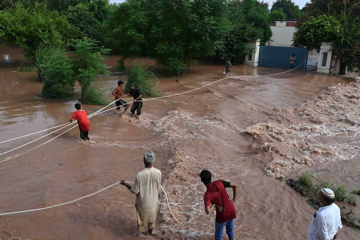
SUPARCO says satellite imagery helps authorities track flood damage in real-time and guide relief
Aug 28, 2025
Aug 28, 2025
SUPARCO says satellite imagery helps authorities track flood damage in real-time and guide relief

Satellite’s advanced imaging will support urban planning, infrastructure and regional monitoring by tracking growth and expansion
