

News Desk
The News Desk provides timely and factual coverage of national and international events, with an emphasis on accuracy and clarity.
Following its launch, the satellite has established stable contact with ground stations and begun capturing and transmitting high-resolution imagery.
Suparco
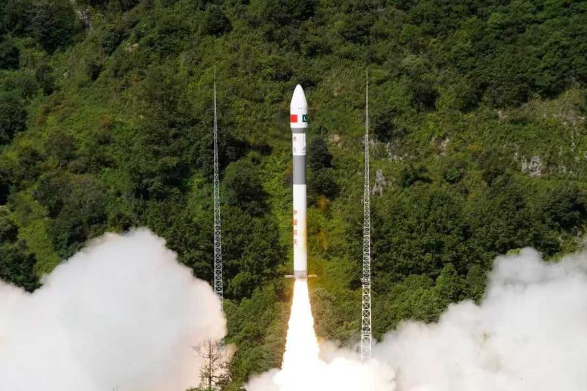
The Pakistan Space and Upper Atmosphere Research Commission (SUPARCO) has confirmed the successful deployment and operational readiness of the country’s newest Remote Sensing Satellite, launched from China’s Xichang Satellite Launch Center (XSLC) on July 31, 2025.
Following its launch, the satellite has established stable contact with ground stations and begun capturing and transmitting high-resolution imagery, significantly enhancing data availability and reliability for multiple national sectors, according to a SUPARCO statement.
Equipped with advanced imaging capabilities, the satellite will support a wide range of applications, transforming urban planning, infrastructure development, and regional monitoring by tracking urban expansion and growth trends.
It will bolster disaster management through timely data for early warnings and rapid response to floods, landslides, earthquakes, and other hazards, while supporting environmental protection efforts by monitoring glacier retreat, deforestation, and climate change indicators.
In agriculture, the satellite will improve productivity through precision farming, crop pattern mapping, and efficient water resource management, contributing to national food security. It will also play a strategic role in development initiatives such as the China-Pakistan Economic Corridor (CPEC), mapping transportation networks, identifying geohazard risks, and facilitating optimized resource allocation.
Collectively, these capabilities will enhance decision-making across sectors, promote sustainable socio-economic development, and reinforce Pakistan’s technological self-reliance.
The launch represents a notable development in Pakistan’s space capabilities, with SUPARCO working to expand the country’s Earth observation infrastructure. The satellite is expected to support innovation, sustainable development, and data-driven decision-making across multiple sectors.


Comments
See what people are discussing