Pakistan’s first electro-optical satellite set for launch on January 17 from China
SUPARCO says satellite will provide crucial data for disaster management, food security, and sustainable development

Javed Hussain
Correspondent
I have almost 20 years of experience in print, radio, and TV media. I started my career with "Daily Jang" after which I got the opportunity to work in FM 103, Radio Pakistan, News One, Ab Tak News, Dawn News TV, Dunya News, 92 News and regional channels Rohi TV, Apna Channel and Sach TV where I worked and gained experience in different areas of all three mediums. My journey from reporting to news anchor in these organisations was excellent. Now, I am working as a correspondent with Nukta in Islamabad, where I get the opportunity of in-depth journalism and storytelling while I am now covering parliamentary affairs, politics, and technology.

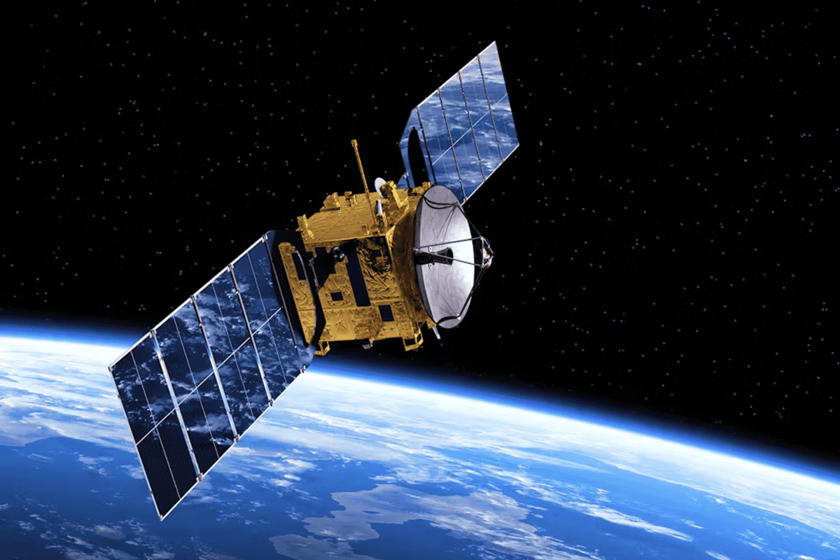
Electro-optical satellites are Earth-observing spacecraft equipped with sensors that capture imagery and data using optical (visible light) and infrared technologies.
Courtesy: militaryaerospace.com/Representational image
The Pakistan Space and Upper Atmosphere Research Commission (SUPARCO) is gearing up for the launch of its first electro-optical (EO-1) satellite, scheduled for January 17, 2025, from the Jiuquan Satellite Launch Center (JSLC) in China.
The EO-1 satellite is a significant milestone in Pakistan’s space exploration journey, reflecting SUPARCO’s dedication to advancing the nation’s technological and scientific capabilities. The satellite was developed domestically, showcasing Pakistan’s increasing self-reliance in space technology.
SUPARCO officials emphasized the satellite's wide-ranging benefits, which include providing crucial data for natural resource monitoring, disaster management, food security, and sustainable development.
“In agriculture, EO-1 will support precision farming by monitoring crops, assessing irrigation needs, and predicting yields,” SUPARCO said in a statement. “It will help enhance food security initiatives and optimize resource use.”
The satellite’s capabilities extend beyond agriculture. It will assist urban development by tracking infrastructure growth, managing urban sprawl, and supporting regional planning. In environmental monitoring, EO-1 will deliver timely updates on natural disasters, including floods, landslides, earthquakes, and deforestation.
Additionally, the satellite is expected to aid in monitoring natural resources such as minerals, oil and gas fields, water reservoirs, and glaciers. This data will bolster extraction strategies and conservation efforts, addressing critical national challenges.
The EO-1 mission aligns with Pakistan’s National Space Policy, which seeks to harness advanced space technology for the country’s progress. By integrating EO-1’s data into decision-making, SUPARCO aims to drive economic growth, improve disaster preparedness, and enable sustainable development.
The launch marks a significant step forward in Pakistan’s space program, signaling SUPARCO’s growing expertise and ambition. Officials described the event as a source of national pride and a testament to Pakistan’s commitment to innovation.
'Satellite designed to support diverse sectors'
Dr. Amjad Ali, SUPARCO's expert scientist and Director General of the Space Application and Research Centre (SPARC), stated in an exclusive discussion with Nukta that this is Pakistan's first electro-optical satellite, but its second indigenously-produced satellite.
The country launched its first indigenous satellite, PakTES-1A, in 2018 in cooperation with China. That remote sensing satellite is still operational and is utilized across various socio-economic sectors.
Dr Ali stated that the satellite is designed to support diverse sectors including Earth resources like agriculture, minerals, food security, natural resources, forest monitoring, infrastructure, town planning, urban planning, railways, and road infrastructure. It will play a critical role in examining and evaluating these resources.
He highlighted the satellite's crucial role in disaster management, particularly during events like earthquakes and natural disasters, as well as in foggy conditions.
Dr Ali also explained that the data from this satellite is shared with relevant institutions, ministries, and provincial governments to facilitate immediate and effective strategic planning.
He further added that the satellite launched in 2018 required advancements to align with modern technological developments. The new satellite has been developed according to modern guidelines and international standards. It employs advanced imagery technology similar to Round Earth, enabling precise assessment and imaging of Pakistan's Earth resources, he concluded.
What are electro-optical satellites?
Electro-optical satellites are Earth-observing spacecraft equipped with sensors that capture imagery and data using optical (visible light) and infrared technologies. These satellites are commonly used for a wide range of applications, including environmental monitoring, agriculture, urban planning, and military surveillance.

Key Features
Electro-optical technology
- They use digital cameras and sensors to capture high-resolution images of the Earth's surface.
- The sensors detect reflected sunlight or emitted infrared radiation, allowing for detailed observation.
Multispectral imaging
- Many electro-optical satellites capture images in multiple wavelengths (e.g., visible, near-infrared, and thermal infrared), providing valuable insights for different applications, such as vegetation health and temperature analysis.
Daylight operation
- These satellites typically rely on sunlight, meaning they can only capture imagery during daytime or under clear atmospheric conditions.
High resolution
- Modern electro-optical satellites can provide detailed imagery, with resolutions ranging from several meters to sub-meter levels, to identify small objects on the ground.
Applications
- Civilian use: Monitoring deforestation, urban development, natural disasters, and crop health.
- Military and intelligence: Conducting surveillance, reconnaissance, and targeting operations.
- Scientific research: Studying climate change, land use, and geological phenomena.


Comments
See what people are discussing